Wicked weather this way comes
Published 12:00 pm Friday, April 4, 2025
Multiple bouts of severe thunderstorms with hail, winds and tornadoes could strike Southwest Louisiana this weekend.
“I know there’s a lot of festivals and events happening across the region this weekend, and it is possible that this weather will disrupt those plans,” National Weather Service Lake Charles Meteorologist Donald Jones said.
Humidity is playing a significant role in this weather event.
Jones said when the warm air mass the area has been experiencing hits the cold front expected this weekend, that is when the severe weather will ignite.
“A cold front will push through the region from Saturday morning through early Sunday morning producing a squall line with individual cells out in front of it,” Jones said.
Southwest Louisiana is already on its third day of wind advisories with gradient winds logged at 39 mph Friday morning.
“That is going to continue until this front gets through,” Jones said.
He said the severe weather is expected to be a long event, with several hours of damaging winds, large hail and tornadoes all possible.
The majority of the region has a 5-10 percent chance of experiencing a tornado touchdown. The region also has a 30-45 percent of experiencing damaging winds of 60 mph or greater.
“With 60 mph winds that’s when we see trees being knocked over, power lines down and damage to trailers,” he said.
The region has a 15-30 percent chance of seeing quarter-size hail or larger.
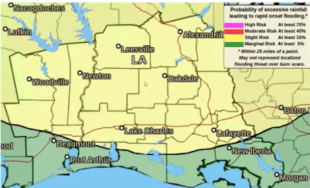
In addition to the severe weather, there is also a low-end risk for flash flooding.
“All this humidity and moisture in the air has the potential to produce some very high rainfall numbers. These very heavy showers will produce a lot of water very quickly and there may not be any place for the water to go. We could be seeing up to 4 inches of rainfall in a one-hour period. The flash flood threat will come from high rainfall rates rather than accumulation.”
DeRidder could start experiencing the weather at about 6 a.m. Saturday. Lake Charles should see it about noon.
“Not everyone will see the rain at the exact same time,” he said.
Cameron could also experience what Jones calls a “tiny baby storm surge.”
“Tides will be running 1-1.5 feet above normal during periods of high tide,” he said. “Flooding of lots, parks and roads along the coast are possible and some coastal roads may be closed.”
Jones said once the front passes, “some very nice weather” will await Southwest Louisiana.
“Probably some of the nicest weather we’ve had so far this year will come after these storms pass,” he said. “It will be really nice for at least five days.”