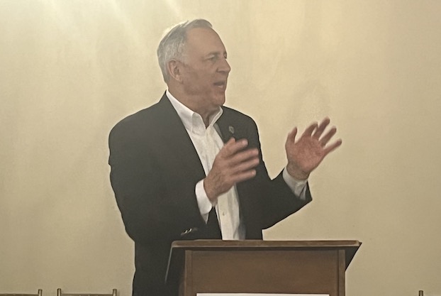
Harvey major flood threat for La., Texas
Published 6:00 pm Thursday, August 24, 2017
Could strengthen into Category 1 hurricane by weekend landfall
Tropical Depression Harvey has the potential to produce 7 to 15 inches of rain in Southeast Texas and parts of Southwest Louisiana by late Friday and into next week, forecasters said Wednesday.
Trending
National Weather Service meteorologist Roger Erickson said during a briefing that Harvey should make landfall late Friday or early Saturday as either “a strong tropical storm or a weak Category 1 hurricane.”
The biggest threat is the amount of rainfall, Erickson said. Harvey is expected to move slowly on landfall, making it difficult to predict just how much rain it will bring. Some areas could get up to 15 inches over several days, Erickson said.
“It’s going to be a long-duration event,” he said.
Harvey’s projected storm surge is also expected to bring some risk, with parts of Southwest Louisiana and Southeast Texas seeing high tides 1 to 3 feet above ground level. Erickson said the areas of greatest risk include Sabine Pass and low spots in Bridge City, Texas.
Erickson said Harvey’s sustained winds are expected to be 20 to 30 mph along the coast, with gusts reaching 40 mph. The risk of Harvey producing tornadoes is low.
“At this stage in the game, I don’t think it’ll be a high-wind event,” he said.
Trending
Because Harvey remains a “weak system,” Erickson said, forecasters are unsure of the exact timing and the duration of the storm.
Erickson said the storm surge and rainfall could be “the same or higher” than Tropical Storm Cindy, which made landfall around Southwest Louisiana in late June.
The next briefing was set for 10:30 a.m. today.
(Rock Palermo/Special to the American Press)


